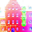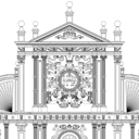
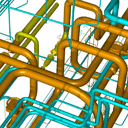
In addition to the development of photogrammetric and surveying software, we offer you a wide range of services
- High resolution 3D building survey using modern geodetic methods (i.e. Photogrammetry, Laserscanning, UAV/USV)
- 3D Building- and City Models
- Building Information Modeling (BIM)
- Documentation of industrial plants
- Facade Drawings
- Image Maps, Rectifications, Orthophotos
- Deformation Measurements
- Damage Mapping
Ihre Ansprechpartner sind:
|